


 BACK TO GALLERY
Daniel Crouch Rare Books
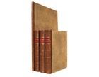
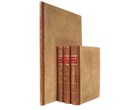
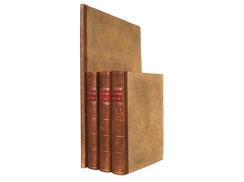
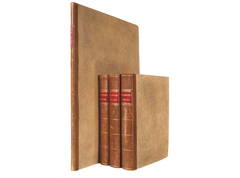
George VANCOUVER
A Voyage of Discovery to the North Pacific Ocean.
One of the most important voyages for the history and cartography of the northwest coast and Alaska.
Quarto volumes: 315 by 245mm. Folio atlas: 560 by 415mm.
description
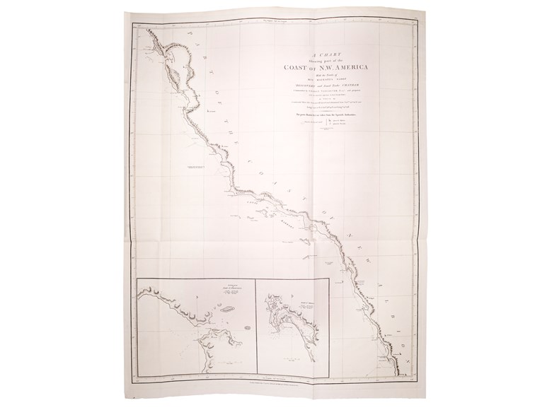
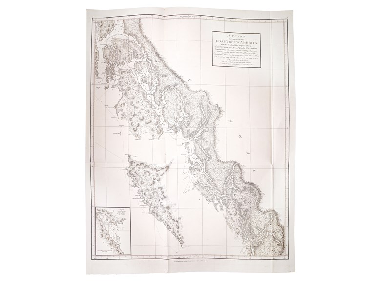
First edition. Vancouver had served on Captain Cook's second and third voyages and "was made commander of a large-scale expedition to reestablish British rights, resulting from the Nootka Convention, at Nootka Sound; to thoroughly examine the coast south of 60 degrees in order to find a possible passage to the Atlantic; and to learn what other establishments had been founded by other powers. This voyage became one of the most important ever made in the interests of geographical knowledge.
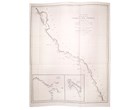
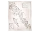
Vancouver sailed by way of the Cape of Good Hope to Australia, where he discovered King George's Sound and Cape Hood, then to New Zealand, Hawaii, and the northwest coast of America.Vancouver surveyed the coast of California; visited San Francisco, San Diego. and other Spanish settlements in Alta California. investigated the Strait of Juan de Fuca, discovered the Strait of Georgia; circumnavigated Vancouver Island; and disproved the existence of any passage between the Pacific and Hudson Bay" (Hill).
"On 16 April 1792 the north-west coast of America was sighted about 115 miles north of San Francisco Bay. Vancouver now began the first of three survey seasons on the north-west coast...On his arrival in Nootka Sound, Vancouver... was warmly greeted by Bodega y Quadra, but their negotiations, extending over three weeks, soon ran into difficulties. Vancouver expected to receive back the whole of Nootka Sound, whereas Bodega y Quadra was prepared to deliver only a small area where Meares had built a hut in 1788. Having reached an impasse the two negotiators agreed to refer the matter back to their respective governments and await further instructions.
"From Nootka Sound, Vancouver sailed for San Francisco and Monterey,... [where] Vancouver was greeted once more by Bodega y Quadra, but with no fresh instructions for either party Broughton was sent back to London, via Mexico City and Spain, to obtain them... Vancouver spent the following winter in the Hawaiian Islands; in May 1793 he was back on the north-west coast to continue his survey and by September he had charted the coast to 56° N. At the end of the 1793 season Vancouver again called at Monterey and afterwards at San Diego before tracing the coast to 30° N and sailing for the Hawaiian Islands to spend the winter there...
"Considering the difficulties facing him, Vancouver's survey is remarkably accurate and for the greater part of the nineteenth century his atlas was the only reliable authority for navigating the remoter parts of British Columbia and Alaska.
"On the voyage home calls were made at Monterey, Valparaíso, and St Helena, from where the Discovery sailed in convoy, anchoring off the mouth of the River Shannon on 13 September 1795. From here Vancouver travelled directly to London to report to the Admiralty, rejoining his ship when she arrived in the Thames on 20 October after a voyage lasting for over four and a half years…
"Almost all the names given by Vancouver on the north-west coast of America have survived, most notably Vancouver Island, originally named Quadra and Vancouver's Island by Vancouver at his friend Bodega y Quadra's request that he should name some port or island after them both. When in 1884 the Canadian Pacific Railway was nearing completion, Vancouver was the name chosen for the city-to-be on Burrard inlet that was to be its western terminus" (David for DNB).
 SEND AN EMAIL
 (212) 602 1779