


 BACK TO GALLERY
Daniel Crouch Rare Books
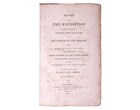
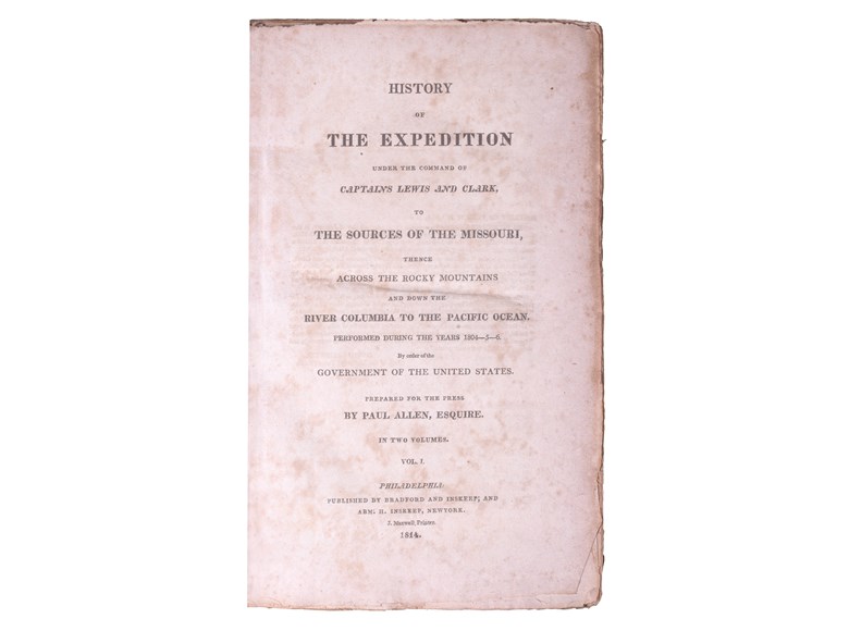
LEWIS Meriwether
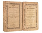
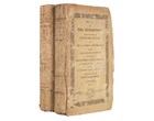
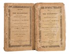
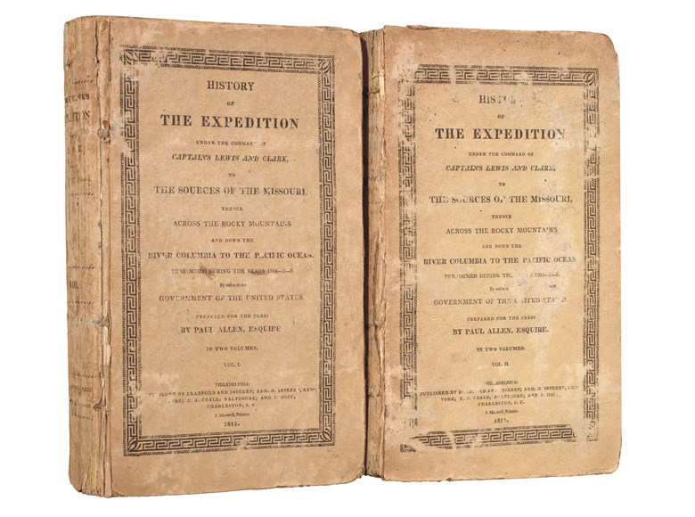
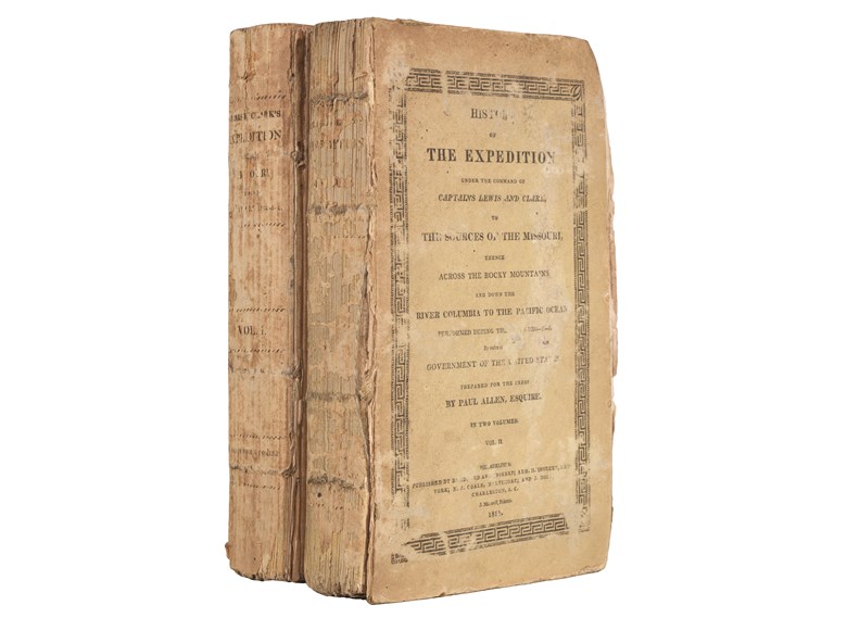
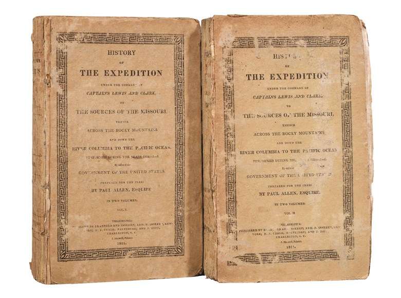
History of the Expedition under the Command of Captains Lewis & Clark.
“Definitive account of the most important exploration of the north American continent (Wagner-Camp).
215 by 130mm.
description
First edition of the "definitive account of the most important exploration of the North American continent" (Wagner-Camp). A cornerstone of Western Americana.
The expedition led by Meriwether Lewis and William Clark set out from St. Louis in May 1804. Its intention was to explore and map the Northwest of America, study the flora and fauna, make contact with the Indian tribes, and in the words of President Jefferson, who commissioned the expedition, to ascertain whether there was a "direct and practicable water communication across the continent, for the purpose of commerce with Asia". The expedition would cover some eight thousand miles in just over twenty-eight months and would lead them down the Missouri to its source, across the Rocky Mountains, and finally tracing the Columbia river to its mouth on the Pacific coast.
The expedition was a great success, with a huge leap forward in the understanding of the Northwest of America as a result, and would lead eventually to the United States' great movement west. However, the official publication of their endeavours was a somewhat more laboured process, with delays in collating the information, the death of Lewis in 1809, and the bankruptcy of the publishers C. & A. Conrad & Co., just a few of the stumbling blocks. The work was eventually published in 1814, some ten years after the pair had set off from St Louis.
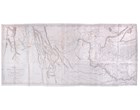
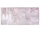
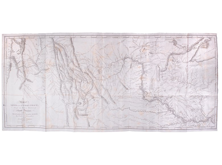
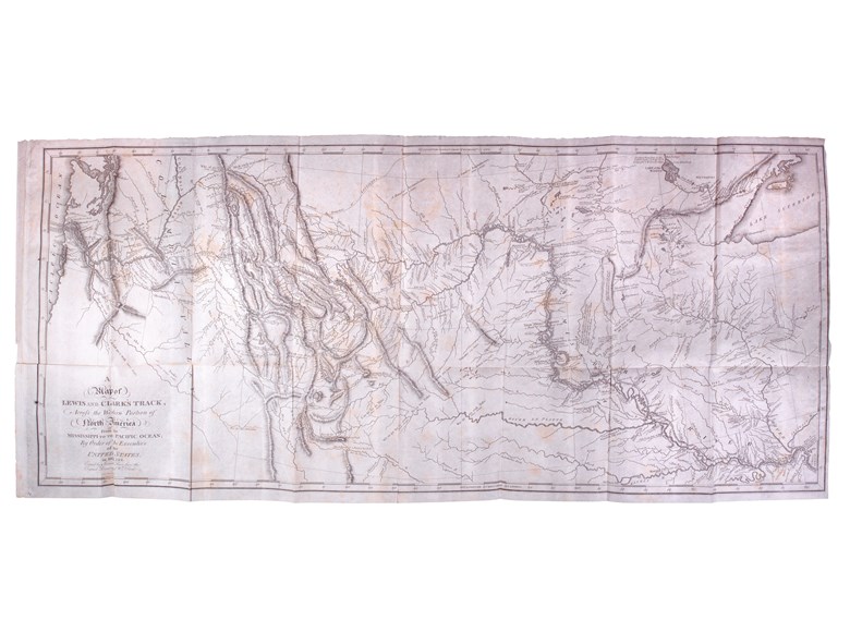
The present example contains the large folding map titled ‘Map of Lewis and Clark's Track Across the Western Portion of North America’. It is an accurate copy of Clark's manuscript, and "the best cartographic representation of the entire northwestern quadrant of what is now the United States" (Cohen).
The expedition led by Meriwether Lewis and William Clark set out from St. Louis in May 1804. Its intention was to explore and map the Northwest of America, study the flora and fauna, make contact with the Indian tribes, and in the words of President Jefferson, who commissioned the expedition, to ascertain whether there was a "direct and practicable water communication across the continent, for the purpose of commerce with Asia". The expedition would cover some eight thousand miles in just over twenty-eight months and would lead them down the Missouri to its source, across the Rocky Mountains, and finally tracing the Columbia river to its mouth on the Pacific coast.
The expedition was a great success, with a huge leap forward in the understanding of the Northwest of America as a result, and would lead eventually to the United States' great movement west. However, the official publication of their endeavours was a somewhat more laboured process, with delays in collating the information, the death of Lewis in 1809, and the bankruptcy of the publishers C. & A. Conrad & Co., just a few of the stumbling blocks. The work was eventually published in 1814, some ten years after the pair had set off from St Louis.
The present example contains the large folding map titled ‘Map of Lewis and Clark's Track Across the Western Portion of North America’. It is an accurate copy of Clark's manuscript, and "the best cartographic representation of the entire northwestern quadrant of what is now the United States" (Cohen).
 SEND AN EMAIL
 (212) 602 1779